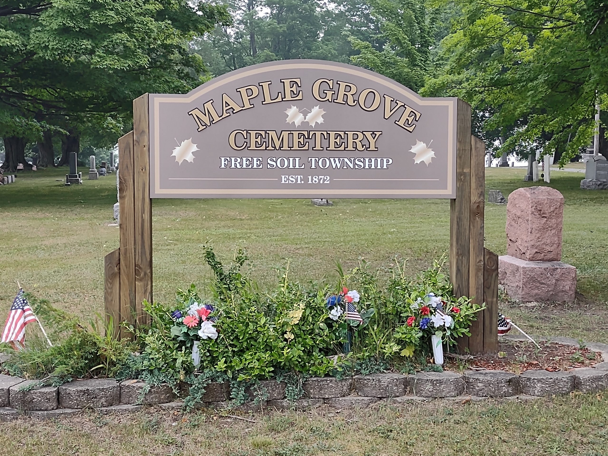
Free Soil Township, located in northern Mason County has been working with WMSRDC’s GIS department to map Maple Grove Cemetery Located on Free Soil Road just West of the township line. Maple Grove Cemetery contains six additions, with a total of 2678 graves over approximately six acres. The township suffered a fire in the early 1980s and many of the cemetery records were destroyed, but workers gathered as much data from the headstones and surviving materials as was possible. That recreated data along with the data acquired since the fire were digitized and a master database created. Maps were created of the cemetery’s additions, lots, and graves and this online map was created for the use of the township and cemetery staff as well as the public. Paper maps were also created and printed for the townships use.
Maple Grove Cemetery, Free Soil Township, Mason County, MI