Riverton Township in Mason County, Michigan, has been working with WMSRDC’s GIS Specialist to map their two cemeteries within the township. The two cemeteries, West and Center Riverton Cemeteries, located only a couple of miles from each other, contain 3,379 graves and for this project all of the paper records for these graves were typed up into a digital database. Using their original hand drawn maps, new digital maps were created using ArcMap software and an online map was created to help both the township officials and the public more easily utilize the cemetery records. Using the online map above you can search for specific names in the search bar and, when selected, the program will zoom into the location of the grave search. It will show information such as date of birth, date of death, military service, lot owner and even contain a picture of that grave’s headstone. Not only does this make accessing the cemetery data easier, it will preserve the data in digital format if anything should happen so the paper records.
To find out more about WMSRDC’s Cemetery Mapping please contact Jamie Way at the WMSRDC offices by email or phone.
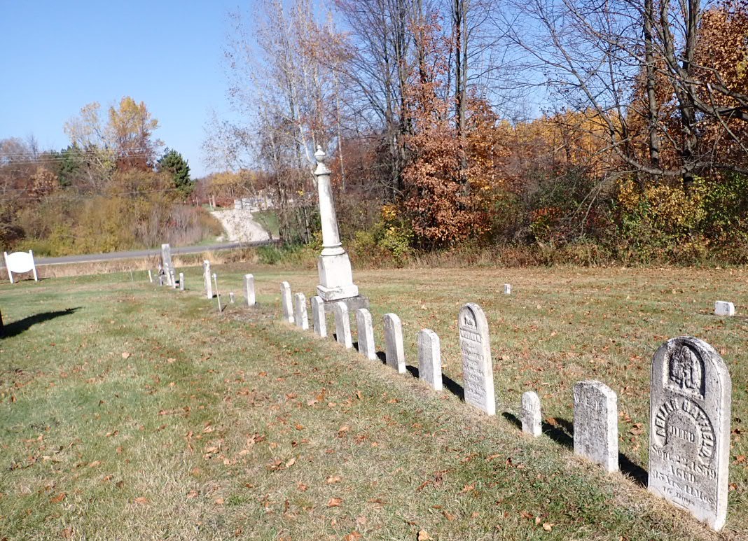
West Riverton Cemetery Headstones from the 1800s