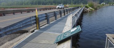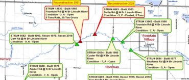
The West Michigan Shoreline Regional Development Commission (WMSRDC) has Geographic Information Systems (GIS) services that are integral to our programs, including transportation, environment, local government services, and special projects. Our GIS capabilities are utilized for analysis, visual displays, and geographic data management, with examples available throughout the WMSRDC website.