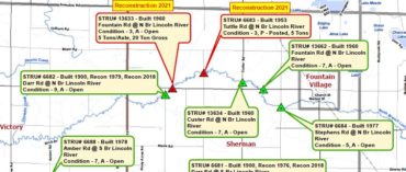
While some communities have GIS capabilities, others may lack the staff or software to manage spatial data or mapping projects. WMSRDC is proud to provide GIS services and expertise to our region. Our team can create digital data and manage GIS assets such as public utilities, infrastructure, multi-modal transportation systems, road center lines, zoning districts, parcels, hydrology, recreation mapping, and other services as requested. These digital datasets can be transformed into online applications, dashboards, or story maps in addition to physical maps for planning, meetings, office displays, or printed publications.


